High resolution satellite imagery
In research published recently in Geomorphology, Manaaki Whenua researcher Dr Hugh Smith provided first-of-its kind analysis of the increasing landslide threat that lurks behind a warming climate.
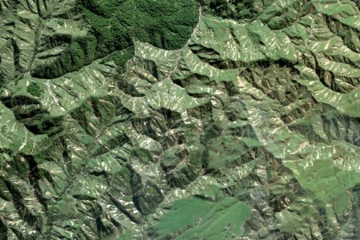
“We combined mapping of landslides using high-resolution satellite imagery acquired before and after landslide-triggering storms in 2017 and 2018 across the upper North Island with analysis of radar data provided by MetService,” says Hugh. “The radar data was then calibrated against measurements from nearby gauges to estimate maximum rainfall over different durations.”
The team also collected information about areas where landslides occurred and where they didn’t, including details such as the angle of the slopes, directions slopes face and the type of vegetation covering the land.
“We combined all this information into a statistical model that analysed the relationship between landslides and the specific rainfall and landscape characteristics,” says Hugh. “This model classed locations as either landslide-prone or non-landslide-prone based on their corresponding rainfall and landscape attributes.”
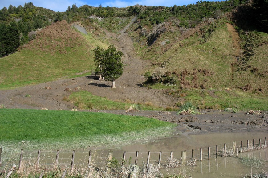
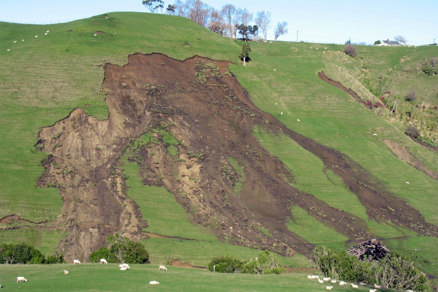
Research already shows steep slopes under pasture on weak sedimentary rocks are particularly susceptible to shallow landslides. This new analysis went further by identifying the rainfall conditions that most influence the landslide pattern in combination with landscape factors.
“We found that the maximum 12-hour rainfall intensity and the amount of rainfall over the 10 days prior to the storm were the most influential rainfall variables. Prior rainfall increases soil moisture, which, combined with sustained high rainfall during the storm, leads to saturation and the increased likelihood of slope failure,” says Hugh. “If we could identify spatial patterns in rainfall that correspond with increasing numbers of landslides, then this would help us determine potential rainfall thresholds for landslide triggering and estimate how rainfall influences the number of landslides that occur.”
The data indicate that in pastoral areas with weak sedimentary rocks, the number of landslides triples on average when the maximum intensity of rainfall over a 12-hour period is 25% or more than the level that typically happens once every 10 years. This rainfall threshold aligns with the projected average increase in rainfall during a 12-hour period by the end of the century, assuming the highest levels of warming in New Zealand according to climate change predictions from NIWA.
This suggests a significant rise in the number of landslides per storm in this worst-case scenario.
Spatial information on rainfall could allow better assessment of the ability of mitigation measures such as tree planting to reduce the occurrence of landslides across a range of rainfall conditions.
“Our findings also confirmed the important role of forest cover (both native and exotic) in reducing the number of landslides compared to pasture. This reduction in landslides in forested areas occurred irrespective of the slope, rainfall or rock types present within our dataset,” says Hugh. ”This finding provides further evidence for the use of targeted tree planting to effectively reduce landslide susceptibility.”
He says future work in this area will focus on acquiring and analysing more data across a wider range of New Zealand landscapes that will allow researchers to predict the likely landslide response for specific rainfall conditions.


