Biota of New Zealand provides access to information about the fungi, land invertebrates, and plants that are found in, or are relevant to...
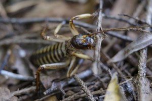
This database lists over 38,000 names, focusing on groups of insects, mites, other arthropods, and nematodes.
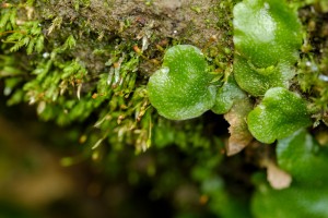
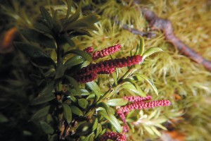
Ngā Tipu o Aotearoa – New Zealand Plants Database captures information on plant taxa relevant to New Zealand.
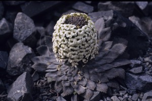
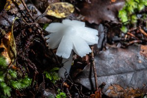
New Zealand Fungi and Bacteria provides access to Manaaki Whenua's fungal and microbial databases:
National Vegetation Survey is a world–leading repository for New Zealand’s plot–based vegetation data.
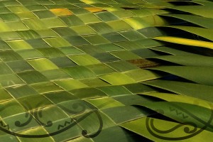
Detailed information on Māori traditional uses of New Zealand native plants and other organisms.
The Systematics Collections Data website provides access to specimen and culture data from our collections and databases.
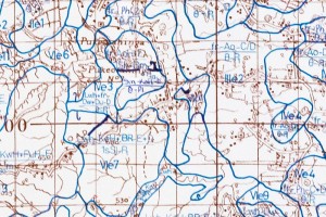
LRIS, a collection of datasets and databases, holds data on general land characteristics, a derivative general-purpose land evaluation (l...
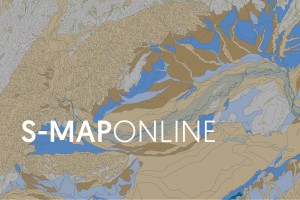
S-map is a digital soil map of New Zealand. Use S-map Online to explore the most comprehensive, quantitative soil information available.
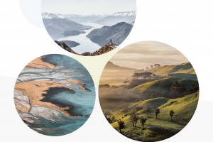
An online atlas of our land resources. Explore interactive maps to learn about your local environment and regional differences.
The Land Resource Information Systems (LRIS) Portal is a repository of authoritative NZ environment datasets and information.
Manaaki Whenua's Soils Portal is a comprehensive source of information about New Zealand's soils.
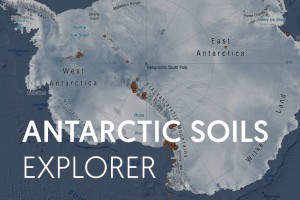
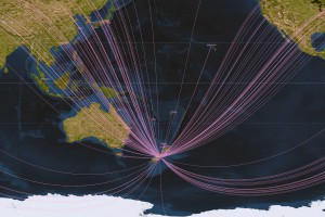
A platform to celebrate Antarctic soils, and the pioneers who set out to research them
Web service to support Land Use Capability (LUC) practitioners.
Explore how New Zealand's land cover has changed over time.
The National Soils Data Repository - use the viewer to see soil observations from the National Soils Database (NSD) and to download data.
The New Zealand Soil Classification (NZSC) classifies New Zealand soils in a five level hierarchical structure.
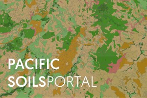
Information and knowledge on Pacific soils, their health and uses. Regions include Fiji, Kiribati, Samoa, Tonga and Tuvalu.
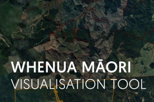
The Whenua Māori Visualisation Tool is designed to help Māori landowners and land managers find out more about their whenua Māori.
The Manaaki Whenua DataStore is the general data catalogue and repository for Environmental Research Data.
Environmental data of Aotearoa New Zealand - all in one place