Figure 1. S-map coverage across Aotearoa New Zealand as at July 2025
At a scale of 1:50,000 it displays basic soil property data such as depth, stoniness, and clay content, as well as more complex data such as water-holding capacity and nitrogen-leaching risk. S-map provides comprehensive and accurate field-based and modelled soil information to support the sustainable management of our soil resource. There are also tools that help land managers and consultants find the S-map soil type that best matches on-farm field observations.
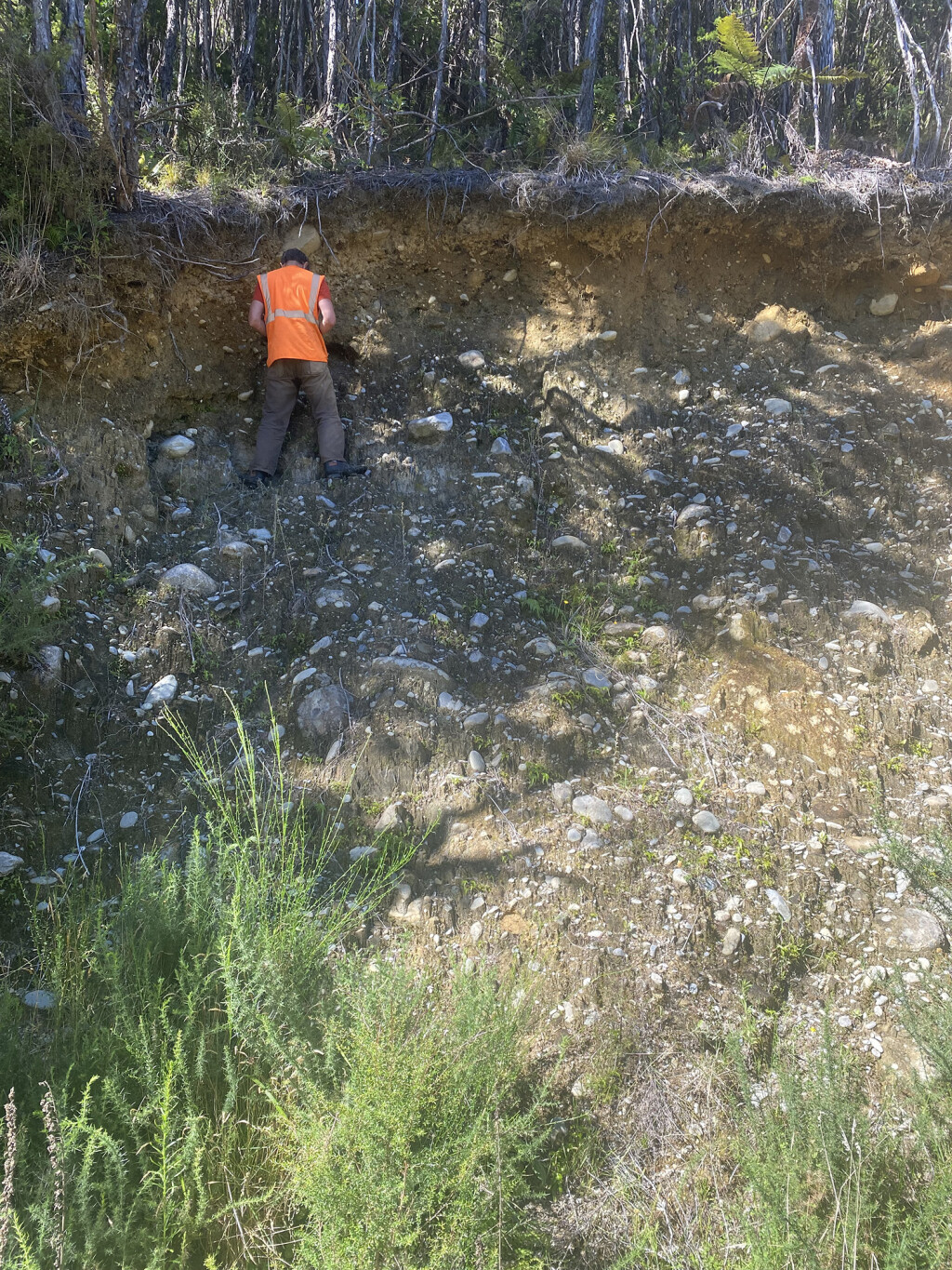
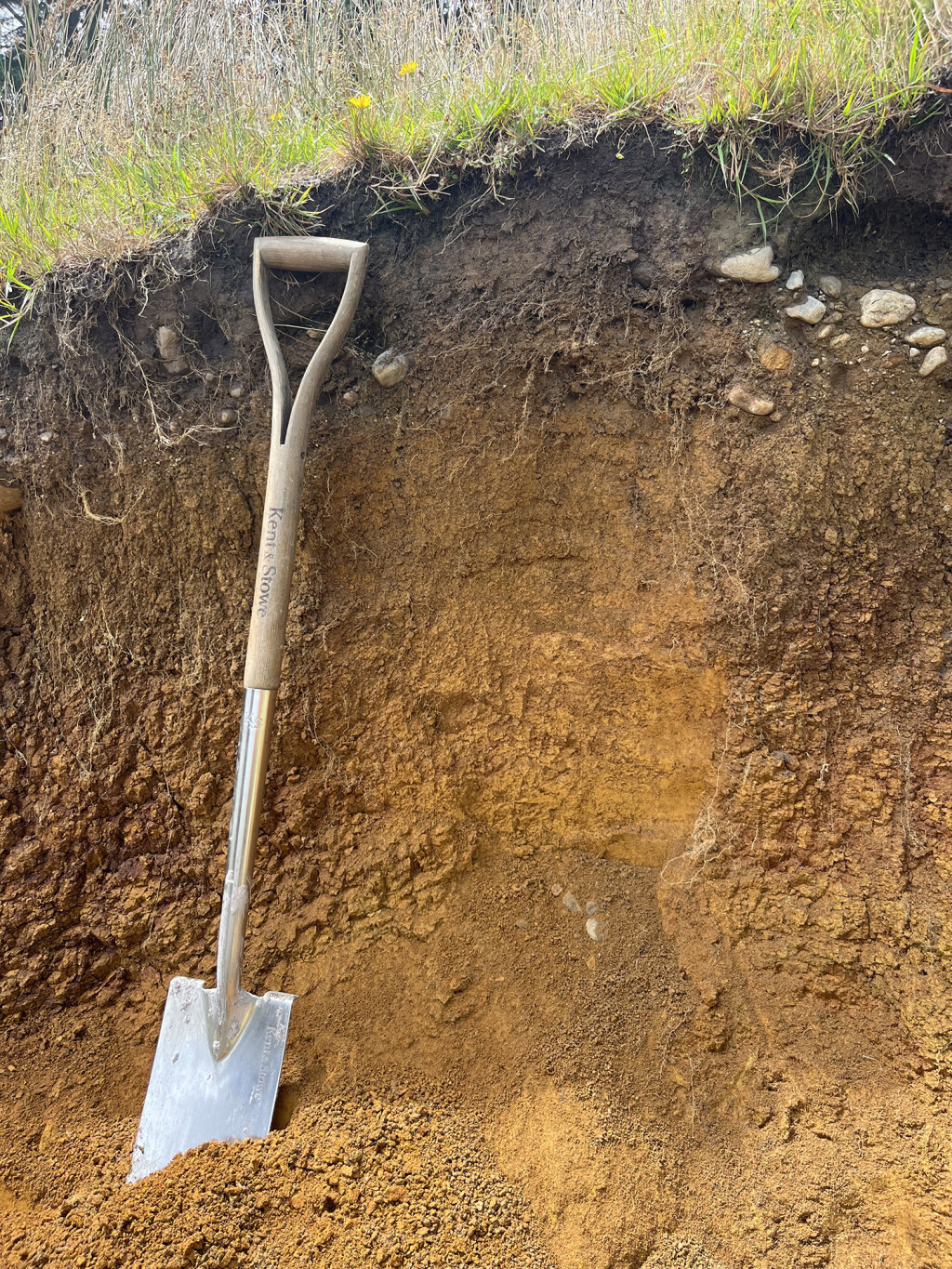
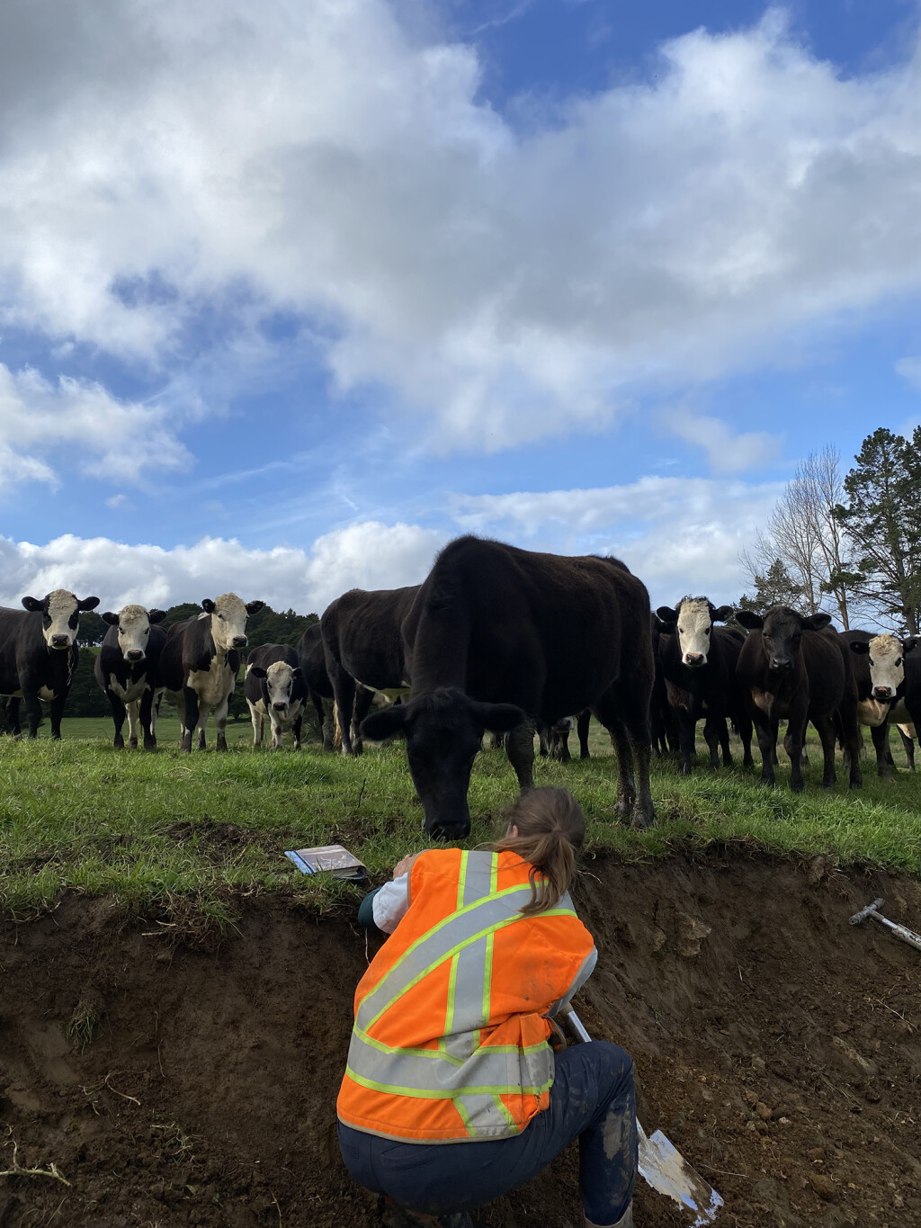
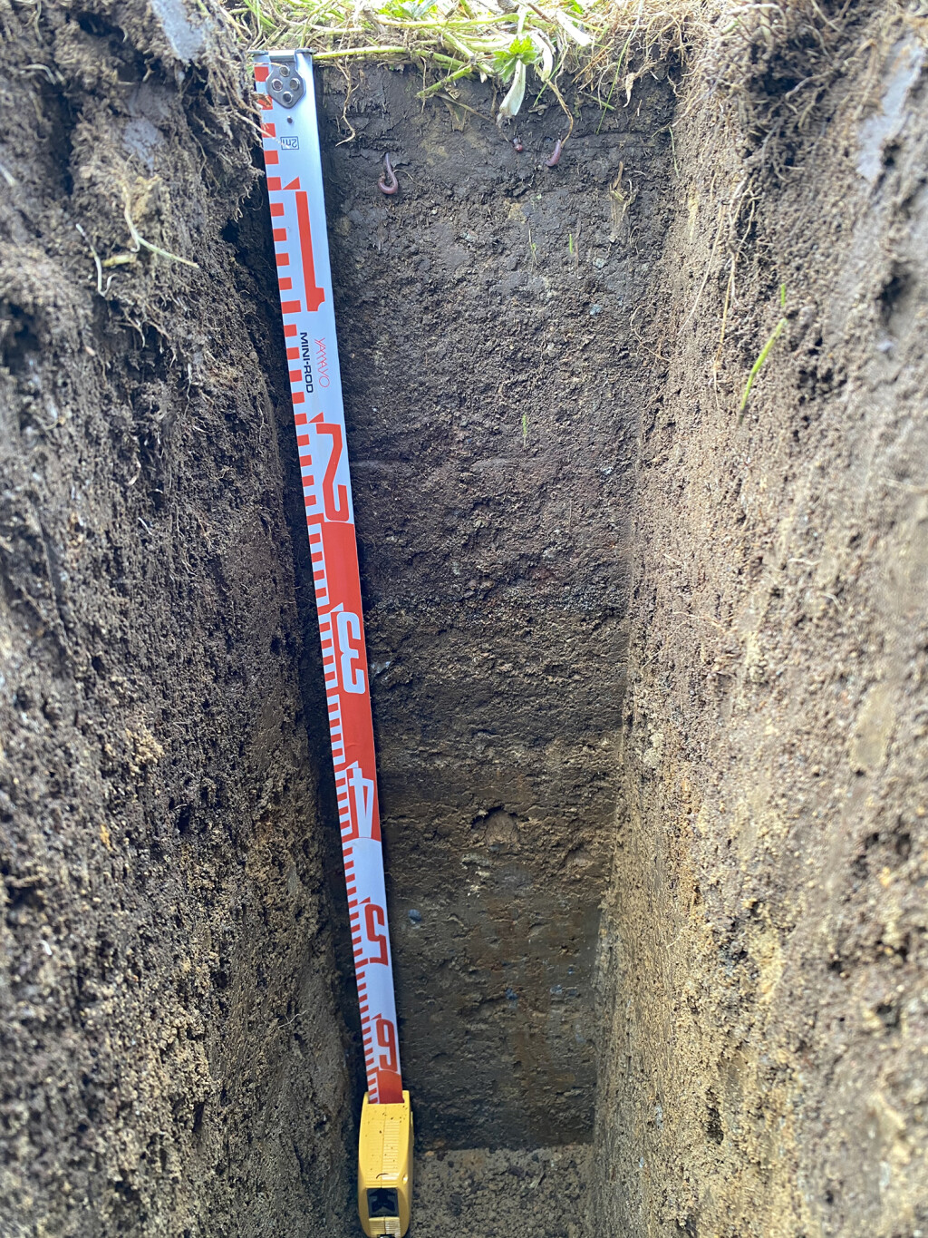
Over time the S-map programme has integrated soil data from existing surveys and undertaken a number of new surveys to increase coverage and harmonise mapped soil attributes and properties. The system relies on traditional soil-pit and auger observations to ground-truth its maps, and also uses an inference (modelling) engine to estimate soil property information where this would otherwise be unavailable.
Since 2018 S-map has had some significant updates as part of a 5-year S-map Expansion programme. Through this programme the Ministry for Primary Industries, the Ministry for the Environment, and 12 regional councils have worked with the Bioeconomy Science Institute's (formerly Manaaki Whenua) soil scientists to complete a large area of new soil-mapping coverage across some of New Zealand’s best food-producing land.
August 2025 saw the last planned update to S-map under the S-map Expansion programme. It is also the largest update since 2018, with 838,460 ha of mapping across Northland, Waikato, Manawatū-Whanganui, Taranaki, Marlborough, Tasman, Canterbury, and Otago. This update includes a remap of 11,600 ha and 2,500 ha in Taranaki and Northland, respectively. In addition, there is an area on the North Canterbury plains where the mapping line work has been slightly modified to match LiDAR imagery, and the usual suite of corrections across the country have been made.
The contribution of the S-map Expansion programme resulted in a total of 2.6 million ha of survey area published into S-map Online, with approximately 1.78 million ha of this as newly mapped area and around 849,000 ha as upgraded and improved mapping. The S-map coverage area now totals 11.8 million ha, or 44.3% of New Zealand. This constitutes 78.2% of ‘multiple use’ land (Land Use Capability classes 1–4) and 60% of farmable land.
S-map also includes New Zealand-wide layers of topsoil chemistry information suitable for regional-scale analysis: soil carbon, pH, and phosphorus retention.
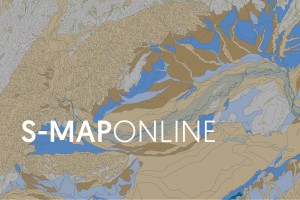
S-map can be accessed via S-map Online (smap.landcareresearch.co.nz), from which 60,000 factsheets have been downloaded by registered users in the past year alone. S-map data are supplied directly to an expanding list of agri-service businesses, fertiliser companies, regional councils, and banks. These data are also a critical input into the New Zealand Water Model, the Agricultural Production Systems Simulator crop model (APSIM), IrriCalc, and the Overseer nutrient budget tool. S-map data are used by scientists for research into erosion, crop and pasture production, nutrient management, and hydrology, and by regional councils in the development of their regional plans for water quality.
Acknowledgments
This expansion in coverage through the S-map Expansion programme was funded by the Ministry for Primary Industries and regional councils, with additional project funding from the Ministry for the Environment and Manaaki Whenua – Landcare Research (now a Group of the Bioeconomy Science Institute).
Key contacts