S-map is used by rural consultants, councils, landowners, and others to enable more informed decisions to manage our land within environmental limits. The soil data are used for crop/pasture management, nutrient budgeting, erosion control, irrigation management, drought resilience, and land valuation.

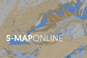
S-map: the digital soil map for New Zealand
In 2022 S-map reached a major milestone: 10 million hectares of Aotearoa have now been mapped under S-map’s soil survey programme, which is around 37% of the whole land area of the country.
This is an increase of 2 million hectares in the past four years, through a partnership between the Ministry for Primary Industries, Manaaki Whenua and 12 Regional Councils. A further 1.5 million hectares is expected to be completed by 2025.
Over 5500 different soil types have been mapped to date, with information on each soil type freely available on the S-map Online website.
In the past year alone, users downloaded 54,000 soil information sheets.
S-map is currently focused on mapping the farmable land area of New Zealand, with 51% of that land now mapped. Within the farmable area, land that has the potential for multiple types of use now has 68% of its soils mapped.