Data powers decision making
S-map Online gives you a close up look at the characteristics of soils in a particular area.
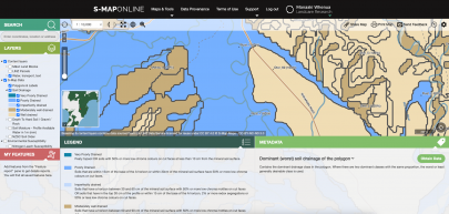 Understanding your soil type – knowing its depth, stoniness, texture, capacity to hold water – means you can make better decisions around land use.
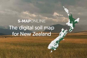
New Zealand’s soil survey data management system, S-map, holds information from more than 10 million hectares across New Zealand – that’s half of the farmable land in the country.
More than 5,500 different soil types have been mapped so far.
You can access this information through S-map Online. It’s easy to use, just enter your address and take a look at the soil types where you live.
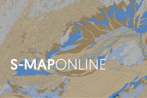
What is S-map?
S-map is a digital soil map for Aotearoa New Zealand. S-map’s goal is to provide precise and accurate soil information to support sustainable management of our soil resource. S-map displays basic soil property data like depth, stoniness, and clay content, as well as more complex data like water holding capacity and nitrogen leaching risk. S-map is generated by expert soil surveyors, assisted by historical soil mapping and innovative new data sources.
Related links
How well do you know your land?
Why understanding erosion gives you more choices
As a world leader in this field, Manaaki Whenua brings together data collected from remote sensing – drones and satellites and digital programs such as S-map – to identify features of the landscape.
We match biophysical characteristics of the land:
- soil moisture
- existing vegetation cover
- climate conditions, e.g. amount of sunlight hours or amount of rainfall
with the aspirations of the people who live on it.
If you want to know the best crops to grow, where your stock can feed, whether your land is eroding, the answer lies in the data.
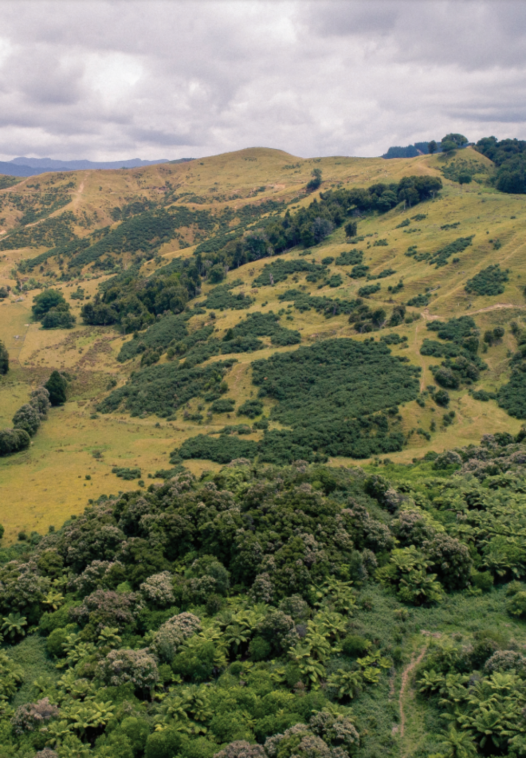
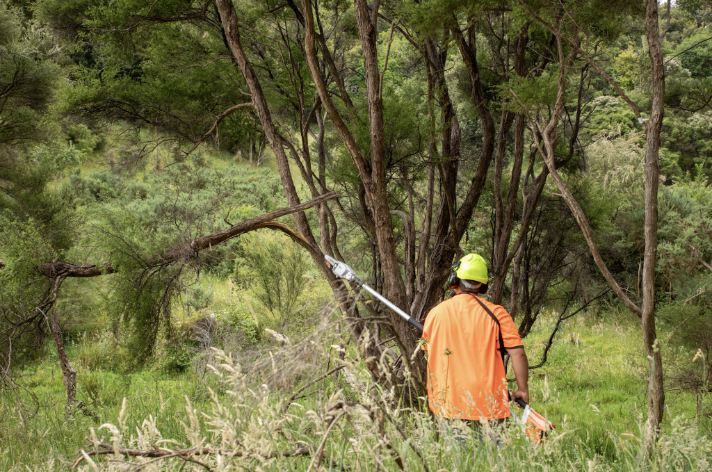
Māori landowners across the east coast of the North Island are using remote sensing to understand the soil so they can revitalise their farms, including slowing erosion.
Manaaki Whenua has helped these landowners work with their land to plant crops such as macadamias, blueberries, and even kānuka.
Why kānuka?
- It helps stabilise the ground and mitigate erosion.
- It provides shelter for communities of plants, soil life, insects, and birds as permanent, mixed, native forest returns to restore the land to its original health.
- It is a useful crop in areas where nothing else will grow, making it an environmental asset and economic opportunity.
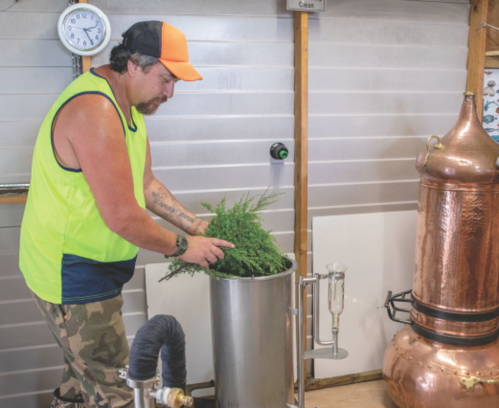
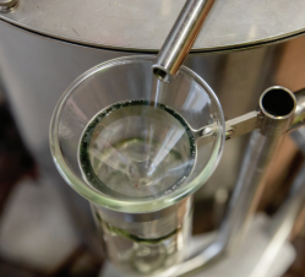
Manaaki Whenua is working with the Hikurangi Bioactives Limited Partnership (HBLP), to help farmers in the Waiapu Valley use kānuka as a natural health product. The project includes distilling and creating a kānuka essential oil.
Related links

Remote sensing: Can you get the drone home?
Did you get to fly the drone on our stand and complete an aerial survey of the landscape? It is not an easy task to do in 90 seconds. Our virtual drone aims to show you just how technical (and fun) some of our researchers jobs are!
Our game aims to promote the capability of our remote sensing team and the work they do by using satellites and drones to study and map the land.
Manaaki Whenua is well known for our remote sensing of the terrestrial environment since the 1970s. We are also leading the development and use of cutting-edge technologies in this space.
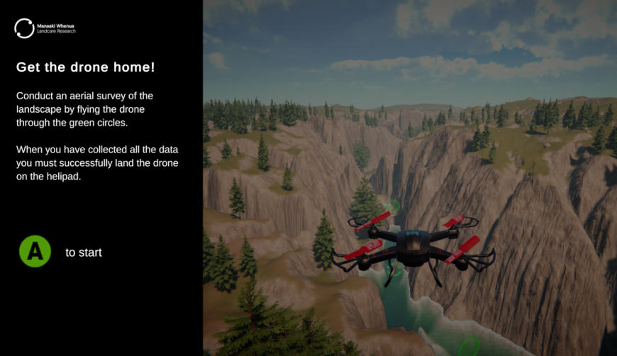
Screenshot from our virtual drone game - only available to play at Fieldays 2022.
Key contacts