Screenshot: Highly Productive Land layer shown via Our Environment
This layer is a visualisation of the baseline extent of Highly Productive Land, represented here as Land Use Capability classes 1, 2 and 3, as mapped in the New Zealand Land Resource Inventory. The actual boundaries of Highly Productive Land in a particular location will differ to this visualisation, depending on the relevant council rural and urban zoning boundaries as defined in the National Policy Statement for Highly Productive Land (refer to section 3.5). Please refer to your local council for this information.
By late 2025 it is expected that each regional council will have remapped the extent of Highly Productive Land for their region, following the requirements in the National Policy Statement for Highly Productive Land (refer to section 3.4). When this is done that updated regional map will replace the map presented here. Please refer to your local council for this information.
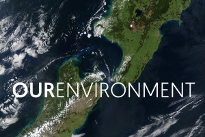
To access the Baseline Highly Productive Land layer go to OurEnvironment, scroll down the page and click on the HPL icon.