Effect of irrigation on soil physical properties on Canterbury pastoral farms
This Canterbury-wide regional study evaluated the effect of irrigation on soil physical properties in both topsoil and subsoil, under modern pastoral grazing and sprinkler irrigation.
Twenty-four paired sites were sampled, consisting of a spray-irrigated paddock and an adjoined part of the same paddock that was dryland (unirrigated), with other management the same for each pair. Sites were sampled across the Canterbury region from Tekapo to Waiau. Thirteen of the sites were located on dairy farms with the remainder on farms with sheep and beef, ‘dairy support’, and beef land uses. Sites were selected to be on deep soils (> 60 cm depth of stone-free soil) so that cores for soil physical measurements could be taken at six increments to 60 cm depth. The 60 cm depth was chosen as this is used for irrigation scheduling and is the depth modelled by the OVERSEER nutrient budget model.

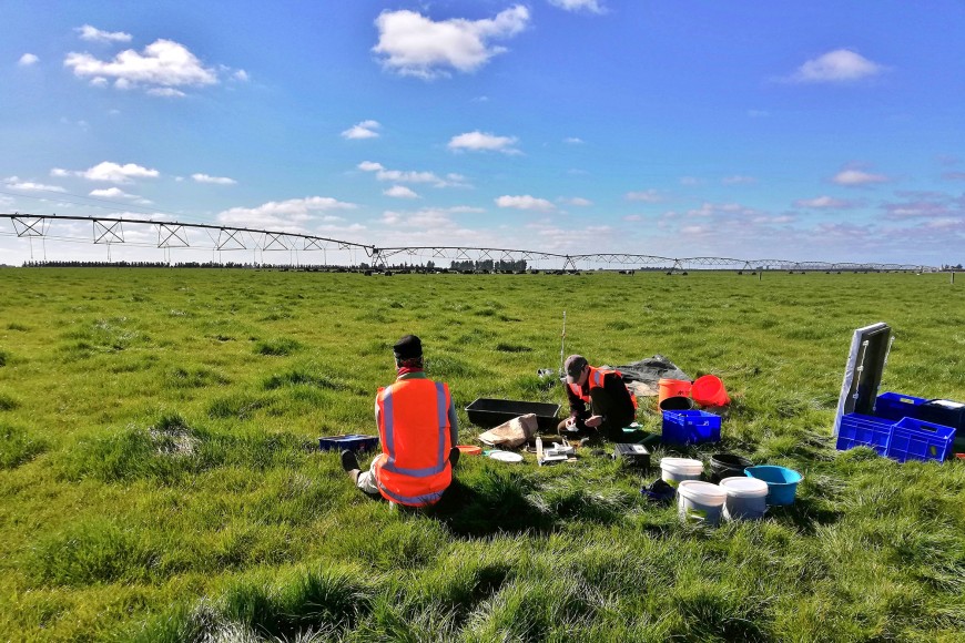
Soil physical sampling on the Canterbury Plains
Under irrigation, there was a shift towards a greater abundance of smaller pores. This was reflected in macroporosity (large pores) and readily available water capacity (water readily available to plants) being significantly lower under irrigation. Semi-available water capacity and unavailable water (the water held below permanent wilting point) both increased.
Irrigation scheduling decisions and tools often utilise soil water storage expressed as ‘mm storage’ for a specific profile depth. In this study, for example, summed over the 0–30 cm depth (topsoil), irrigated sites had an average of 3.3 mm less readily available water capacity (i.e. storage capacity) than dryland sites.
It was concluded that these differences reflect increased compaction under irrigated grazed pasture, particularly under dairy grazing, which was also consistent with findings in other similar studies. This study quantified changes in both the topsoil and subsoil but most differences were confined to the topsoil.
For irrigation management, the study indicated the lower readily available water capacity on irrigated pasture is significant, with farmers potentially having to irrigate more frequently. Adopting deficit irrigation could minimise the impacts of compaction. Further research by MWLR is being planned to investigate options for co-ordinating grazing management and timing of irrigation to minimise or mitigate soil compaction and effects on soil physical properties.
The project was a collaboration between Federated Farmers of New Zealand Inc, Manaaki Whenua – Landcare Research, the AgriBusiness Group, IrrigationNZ, and Canterbury irrigators. Funding was through the Ministry for Primary Industries Sustainable Farming Fund, and the MBIE funded Next Generation S-Map programme. Further information and results are available from the publication below (open access).

