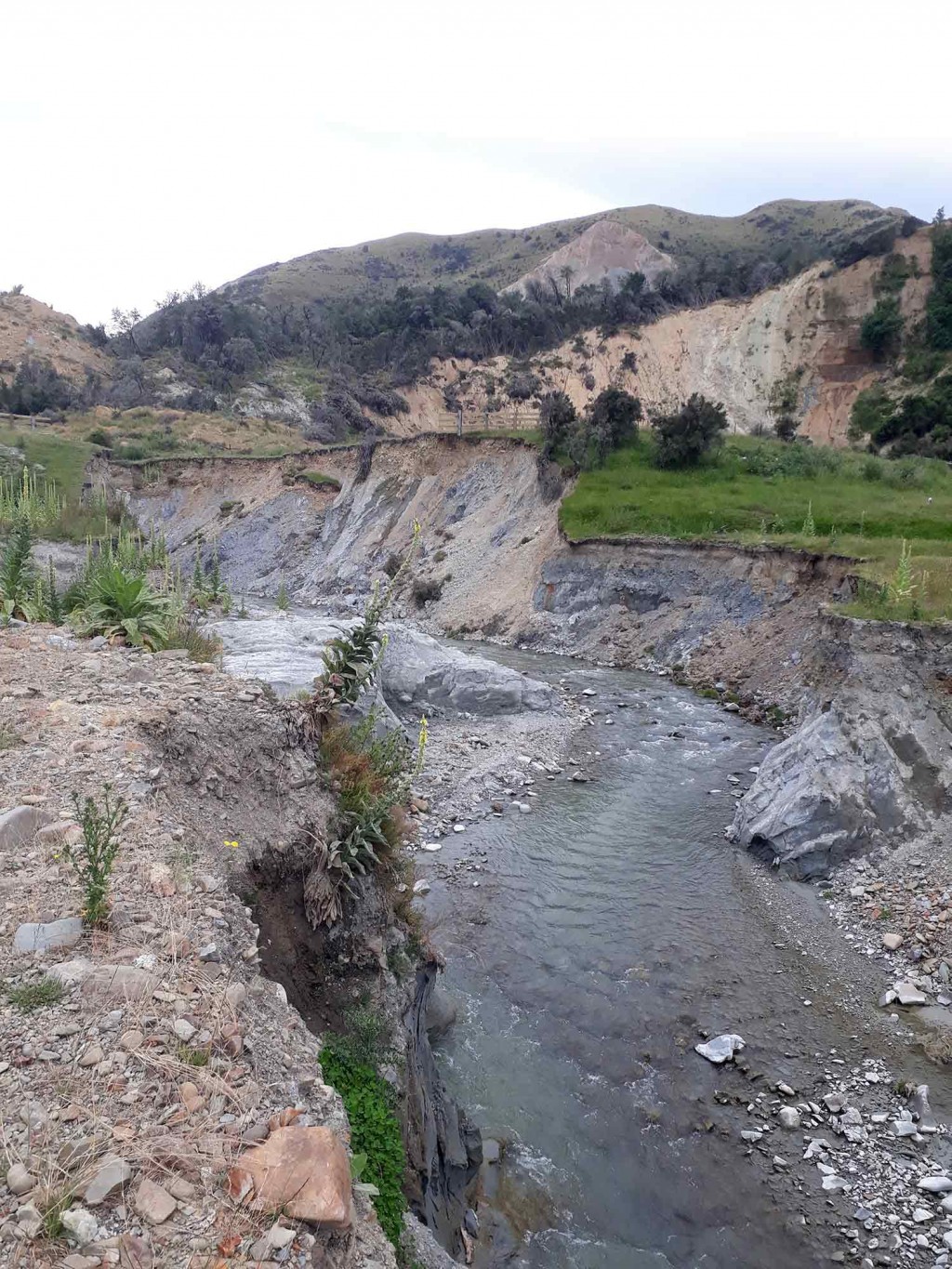
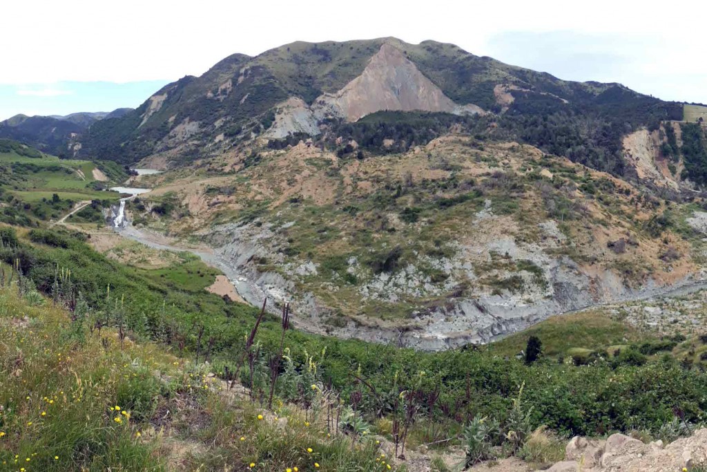
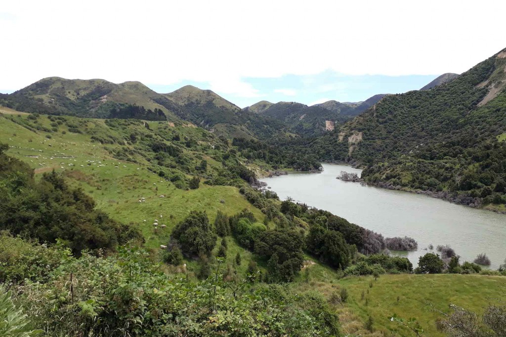
The quake also caused around 30,000 landslides of varying sizes across 9,600 square kilometres of north Canterbury and Marlborough, ranging in size from a few cubic metres of material to tens of millions of cubic metres of soil and rock. Some of the landslides dammed rivers, with associated lakes quickly appearing.
Following a large hazard event, detection and monitoring of landscape changes is very important for disaster planning, mitigation, and prevention, especially if one hazard may trigger others. The lakes, most of which formed in steep valleys in remote areas, created a potential hazard for upriver and downriver communities and infrastructure, with the dam debris prone to sudden breaching and overtopping.
At the time, GNS Science undertook low-level aerial surveys of the landslides and new lakes, which were invaluable for managing the situation on the ground. More recently, Manaaki Whenua’s Raphael Spiekermann and colleagues from the University of Salzburg have investigated whether satellite data could provide an automated and easier way of collecting information about landslide-dammed lakes.
High-resolution Sentinel-2 satellite imagery, which is updated very regularly, allows both the mapping of surface water and analysis of change through time. In addition, since 2016 the handling of big Earth observation data has become easier and more straightforward thanks to cloud computing platforms such as the Google Earth Engine.
Spiekermann and colleagues tested whether a mosaic of monthly images from the Sentinel-2 satellite system could be combined with other data sources to detect and monitor landslide-dammed lakes automatically at a regional scale.
Challenges included having to correct the data for cloud shadows, steep hillside shadows, and false-positives – snow cover, farm dams and river margins being incorrectly detected as new lakes. Nonetheless, with imagery of 10-m spatial resolution, dammed lakes larger than 300 m2 on relatively flat terrain were swiftly mapped and detected with reasonable accuracy.
Although not yet a substitute for low-level aerial flyovers immediately after a hazard event, where data were sufficient and interpretation was unambiguous, this method allowed low-cost detection of landslide-dammed lakes, and monitoring of those often-ephemeral lakes to reveal changes over time.
Spiekermann is pleased with the results so far. “This study aimed to demonstrate how open-source Sentinel-2 imagery combined with the computing capacity of the Google Earth Engine can be used to support disaster management and risk reduction. Here, we developed an application to detect and monitor landslide-dammed lakes at regional scale. This is an important step in the development of smart, cost-effective tools that can provide valuable data to increase understanding of major landscape-altering events such as that of Kaikoura in 2016.”