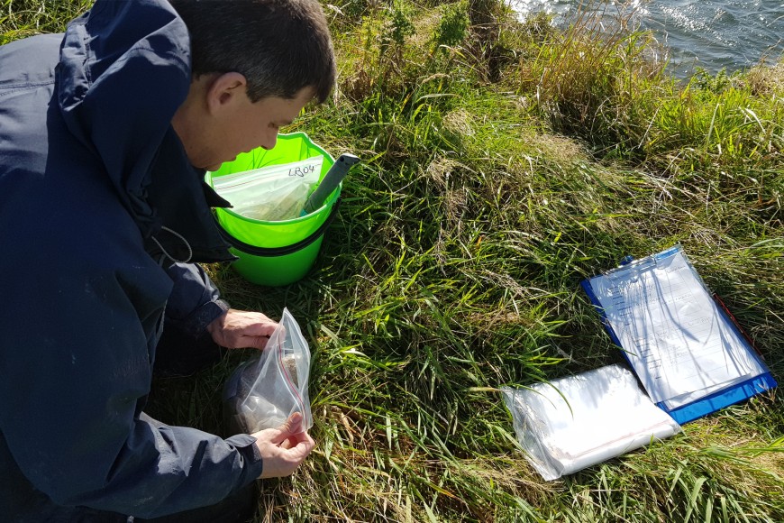
Hugh Smith doing sample collection and recording of site characteristics for sediment fingerprinting in the Ōreti catchment, Southland.
A research team led by Dr Simon Vale and Dr Hugh Smith has conducted sediment fingerprinting studies in several catchments, including the Manawatū, Oroua, Ōreti, Tiraumea, Aroaro, and upper Mōtū, as well as work for Horizons Regional Council and Gisborne District Council.
These studies aim to understand how much sediment comes from different sources, depending on erosion processes and the type of soil or rock.
The team collected samples from different erosion sources in the field, picking specific properties (called tracers) that help identify each source. These tracers can include various physical and chemical properties of soils and sediments, such as their geochemical composition, radioactive elements, or isotopic signatures.
Simon says the implications of understanding the origin of sediment in rivers or lakes is crucial to enabling targeted erosion control and land management strategies.
“As climate change affects precipitation patterns and intensifies extreme weather events, sediment fingerprinting becomes an increasingly important tool for assessing how sources of erosion and downstream sediment delivery are changing in response,” he says. “This information is valuable for adapting land management practices to mitigate the impact of climate change on erosion and sediment transport.”
Hugh adds that the study provides a framework for evaluating catchment erosion sources based on their sediment-related water quality attributes, which can be used to guide catchment management strategies and ensure effective targeting of erosion control.
“Overall, the research has important implications for managing and improving water quality in streams and rivers, particularly in terms of visual clarity and sedimentation issues,” he says. “This knowledge helps prioritise efforts to control erosion in specific areas of a catchment, making sure that interventions target the sources contributing the most sediment.”
Key contact

