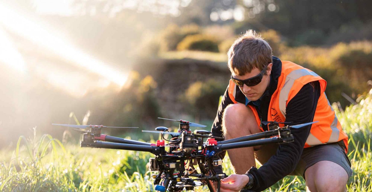
Ben Jolly, Scientific Programmer
Back a level
In this section
-
Meet our staff
- Al Glen, Senior Researcher
- Ana Podolyan, Molecular Technician
- Ben Jolly, Scientific Programmer
- Fiona Carswell – GM Science
- Jessie Prebble, Botanist
- Jo Carpenter, Researcher – Conservation Ecology
- Manpreet Dhami, Senior Researcher
- Paula Godfrey, Research Technician
- Sze-Wing Yiu, Post-Doctoral Researcher – Behaviour Ecologist
- Yvonne Taura, Kairangahau Māori – Ecology
I'm a scientific programmer focused on remote sensing research. I use images from satellites, planes, and drones to classify and map land cover over New Zealand, as well as sea ice in Antarctica.
I am constantly learning more about land cover and land use in New Zealand and keeping up to date with new research and analysis techniques. It’s great to be making a difference by contributing towards high value research that feeds directly into policy decisions.
I have a solid base in computers/electronics, programming, and physics, which provides a good platform for contributing to many different areas of research. I wanted to do research that contributed towards our understanding of the environment, and this was a good fit.

